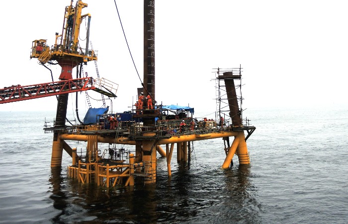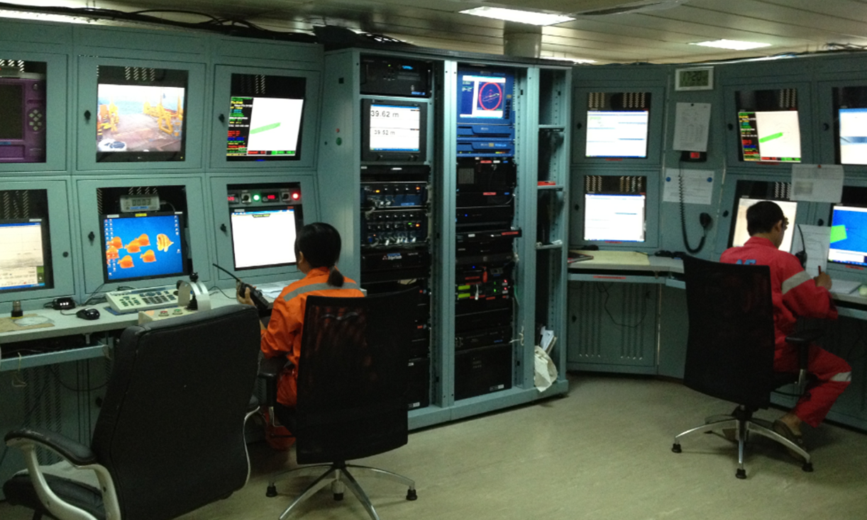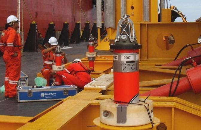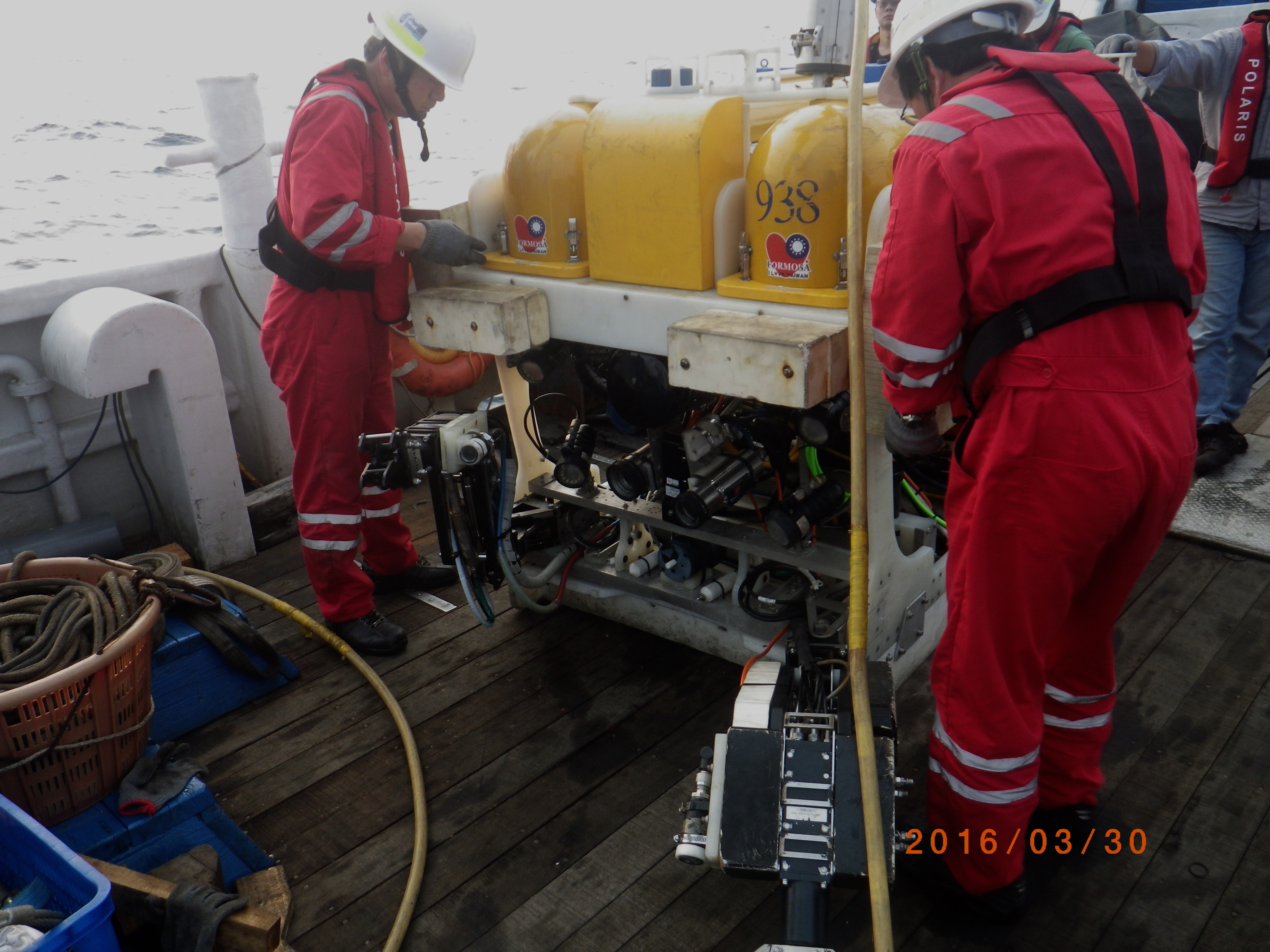
Terrestrial survey services
Choosing the correct methodology and equipment to match the environment and ground conditions is the key to successful results from geophysical investigations. EGS can assist the Client’s technical team in selecting the appropriate techniques and ensuring a successful solution. Typical techniques include:
- Unmanned Aerial System (UAS) Survey
- Seismic reflection and refraction; cross hole tomography
-
Electrical resistivity & ground penetrating radar
-
Magnetic, electromagnetic and BEM surveys
-
Gravity
-
Wireline geologging tools & BH televiewer
-
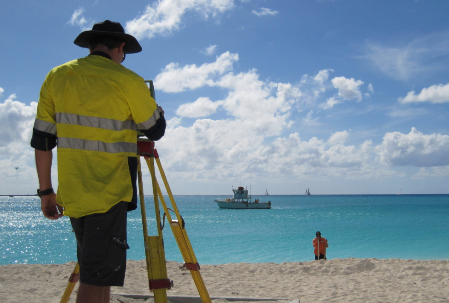
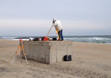
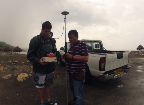
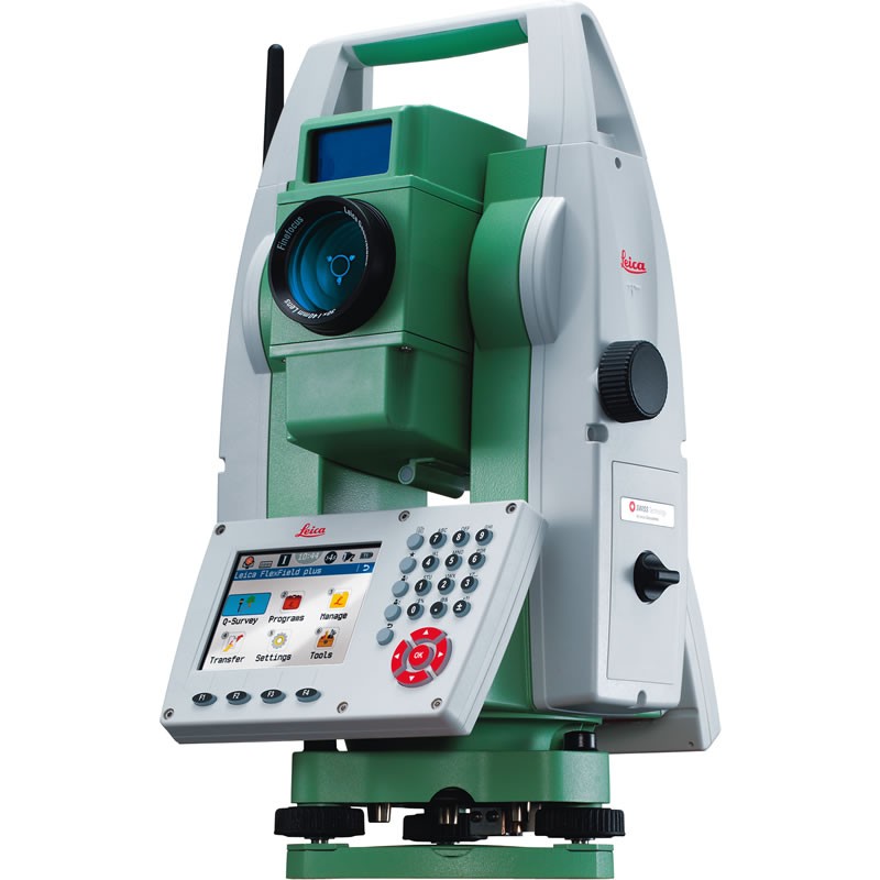
Vibration Monitoring, topographic survey and differential GPS
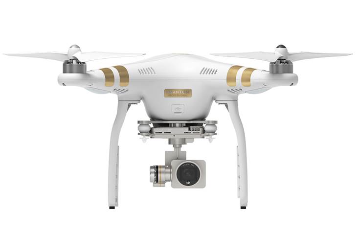
Unmanned Aerial System (UAS) Survey
Unmanned aerial system (UAS) surveys combine aerial and terrestrial photogrammetry. It is a low-cost alternative to the classical manned topographic surveys and with comparable accuracy.
It is ideally suited for site inspection, survey planning, topographic survey and mapping, with digital surface models being produced from aerial photographs. EGS can provide an accurate assessment, with geo-referenced features, compatible with a wide range of different professional software e.g. Makai, AutoCAD, ArcMap…. It is cost-effective, versatile and almost zero-cost in mobilisation. Piloted by licensed and trained operators who hold a private pilot license based on a recognised syllabus by the Hong Kong Civil Aviation Department.
The following can be delivered by EGS:
Aerial Mosaic
Giving a seamless overview for a desired area. Advantageous bird’s-eye surveillance for conducting site reconnaissance, monitoring progress and overcoming obstructions
Aerial Mosaic
(Geo-referenced)
Combining data from different sources into an integrated geo-referenced aerial mosaic to facilitate cost-effective design, evaluation, evolution and monitoring of projects.
Color Point Cloud Model
Geo-referenced aerial photos are processed using Pix4D, generating a point cloud model (PCM) of the ground. PCM’s can be used to derive; digital surface models, digital terrain models, topography plans, earthwork computation and 3-D fly-through maps.
Download UAS Brochure here
SHALLOW SEISMIC AND BOREHOLE SEISMIC
Seismic methods can determine the distance to significant seismic interfaces, i.e. those that can be correlated to changes in soil/rock layers, discontinuities, ground water and low velocity zones. Seismic waves are measured by seismograph connected to a layout of surface or downhole geophones.
These techniques are mainly used for:
- Engineering projects such as investigations and constructability assessments for major infrastructure, construction, tunnel, highways and major buildings.
- Hydrogeology and groundwater exploration
- Detection of cavities, shafts and addits
- Ground particle velocities
MICRO GRAVITY SURVEY
This technique has been used extensively by EGS on major project developments in challenging geological and geotechnical terrains in the urban and rural environments.
This technique is mainly used for:
- Detection of Subsurface Cavities
- Regional Geological Studies (i.e. investigation of bedrock level and fault zones)
- Engineering Applications (i.e. extent of disturbed ground and weathered rock)
- Archeological Applications
ELECTRICAL RESISTIVITY SURVEYS
Both surface resistivity survey (1D traversing and sounding and 2D imaging) and borehole resistivity survey are available.
This technique is mainly used for:
- Engineering Site Investigations (i.e. subsurface collapse features or conductive layer investigation for subway construction, power station)
- Environmental Investigation (i.e. closed landfill, potential polluted area, leakage migration or contaminant plume mapping)
- Groundwater Survey (i.e. detection of saline groundwater or groundwater potential)
- Archeological Investigation (i.e. location of buried objects)
BROADBAND ELECTROMAGNETIC (BEM) SURVEYS
A special and effective technology for condition assessment of any ferrous pipelines (cast iron, mild steel, wrought iron, ductile iron). Sensitive to all forms of corrosion and erosion experienced in ferrous pipelines; can be applied to coated, lined or painted pipes without need to destroy the protective layer.
BOREHOLE TELEVIEWER SURVEYS
Borehole Televiewer (BHTV) provides an acoustic "image" of the borehole wall by scanning it with narrow pulsed acoustic beam from rotating transducer while the tool is pulled up the hole. This allow the following information to be provided:
- The location of discontinuities and cavities in the rock mass relative to ground level
- The width, dip and dip direction of detected discontinuities
This technique is mainly used for:
- Fracture Investigation of Bedrock
- Geological Structural Investigations
- Stress Analysis for hydrofracturing
- Borehole Breakout / Ovalisation Analysis
- Thin Beds Evaluation
- Rock Texture & Quality
EM SURVEYS - GROUND CONDUCTIVITY
This is a non-destructive method of earth conductivity, with an effective depth of exploration about six meters, making it ideal for geotechnical and groundwater contaminant surveys.
EGS owns the Geonics EM31-MK2 meter. Important advantages of the EM31-MK2 over conventional resistivity methods are the speed with which surveys can be conducted, the precision with which small changes in conductivity can be measured and the continuous readout and data collection while traversing the survey area.
This technique is mainly used for:
- Landfill Survey
- Saltwater Intrusion Study
- Location of Ore Bodies
- Groundwater Investigations
- Mapping of Subsurface Voids
- Contaminant Plume Mapping
GROUND PENETRATING RADAR (GPR)
GPR is an electromagnetic geophysical method which measures contrasting values in dielectric characteristics of the soil to map geological strata, cavities and buried pipelines/utilities. This technique is used extensively for archaeological and construction works.
MAGNETIC SURVEYS
EGS can undertake surface and borehole magnetic surveys with its current pool of equipment.
This technique is mainly used for:
- Detection of Underground Pipes
- Detection of Buried Infill
- Detection of Ferrous Objects
- Detection of Buried Containers
- Landfill Investigation
- Mineral Exploration
THERMAL RESISTIVITY
Thermal resistivity measurements can be carried out on rock cores recovered from marine and land site investigations.
Thermal resistivity data are mainly required in the design of infrastructure projects such as tunnel, subway, power station and dam where heat exchange is important.
VIBRATION MONITORING
Both seismic vibration and sound vibration can be collected using tri-axial geophones and standalone microphones. These techniques are mainly used for:
- Vibration Background Survey
- Construction Site Monitoring
- Blasting / Sound Monitoring
- Environmental Study
Information derived from these technique are as follow:
- Peak Particule Velocity & Frequency
- Acceleration
- Peak Vector Sum
- Peak Sound Level